Here I’m gonna post some ideas/design/concepts that it would be nice to create.
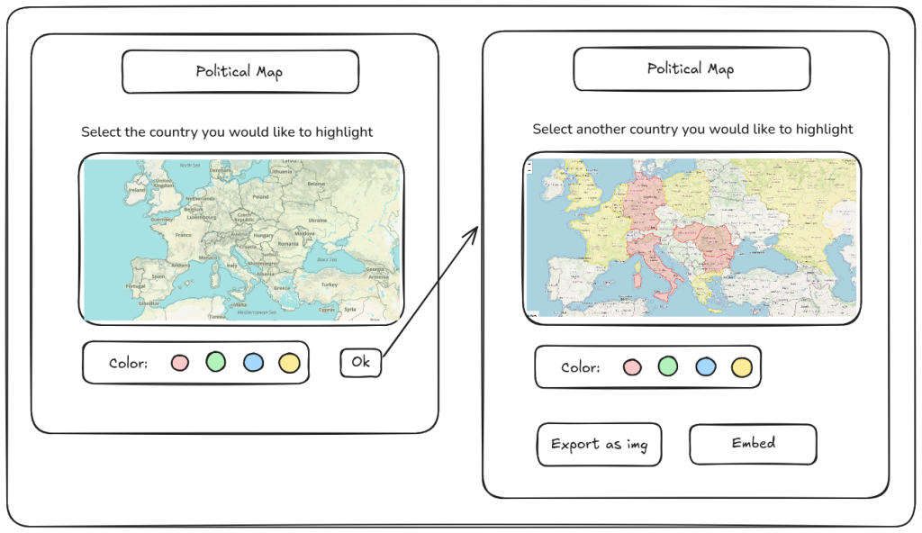
This design is quite classic. The user select the places on the map (and also the year), and then the user can export the map as an image, or embed it in a website.
There are already some tools like this, but they miss the timeline, and also they do not rely on an open source platform like OpenHistoricalMap.org
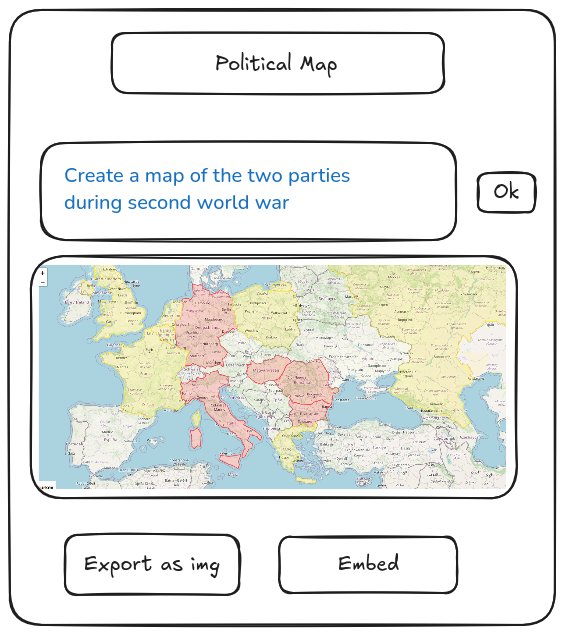
Or use directly AI to select places with certain properties.
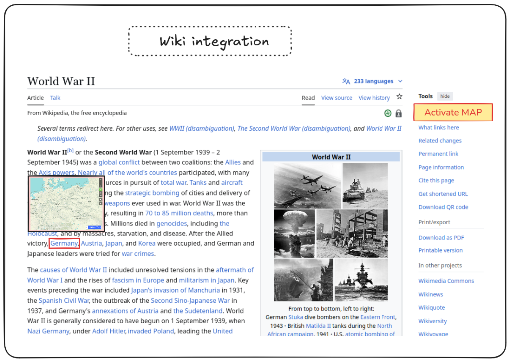
This is a possible concept about a Wiki Integration. Right now if you over your mouse’s cursor on a link, you can see the preview of that link/page.
The idea here is to do the same with maps. This option could be selected on the Tools menu, with Activate MAP.
There could be some attributes related to the Wikipedia webpage, that can be used to select from the beginning the right timeline for the map.
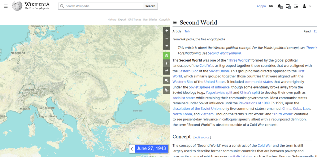
Once that the user click on the map, the layout is expanded, so that the experience is more immersive, as it is now on globstory.it
If you have any idea or feedback, just write here and I’ll be happy to reply.
Thanks!